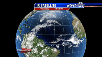
Latest Imagery


Hi-Res ECMWF Modeling
-
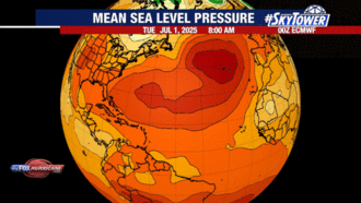
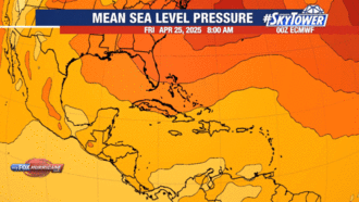
ECMWF Hi-Res Atl. Pressure
-
ECMWF Hi-Res Carib. Pressure
-
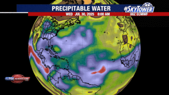
ECMWF Hi-Res Atl. Prec. Water
-
ECMWF Hi-Res Carib. Prec. Water

Hi-Res ECMWF Modeling
-
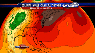
ECMWF Hi-Res Eastern U.S. Pressure
-
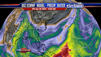
ECMWF Hi-Res Eastern U.S. Prec. Water
-
ECMWF Hi-Res Africa Pressure
-
ECMWF Africa Prec. Water


The Eastern Atlantic
-
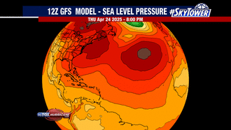
GFS Atlantic
-
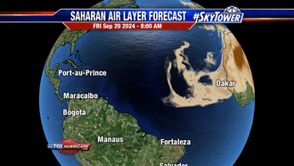
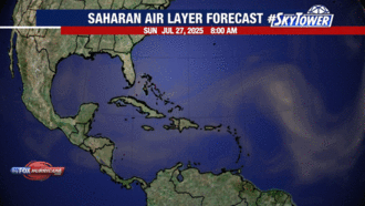
Saharan Air Layer Atlantic
-
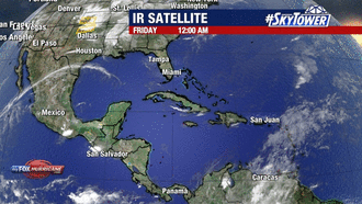
Atlantic Satellite
-
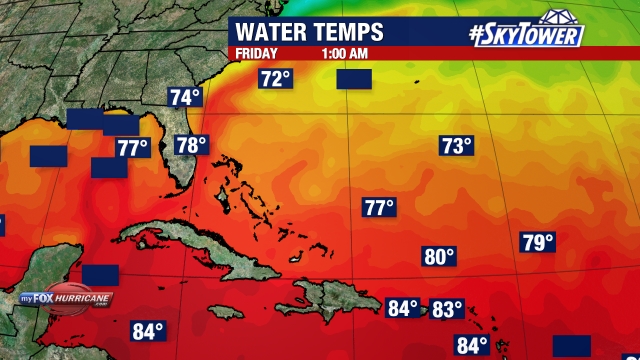
Atlantic Temps
The Caribbean
-
GFS Caribbean
-
Saharan Air Layer Caribbean
-
Caribbean Satellite
-
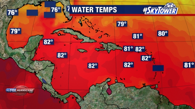
Caribbean Temps

The Gulf
-
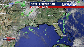
Gulf Satellite
-
Gulf Sat-Rad
-
Gulf Radar
-
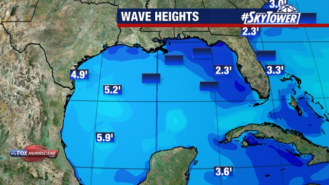
Gulf Waves

The State of Florida
-
Florida Satellite
-
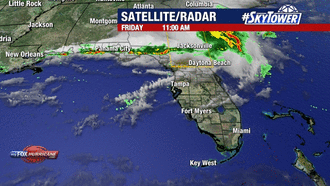
Florida Sat-Rad
-
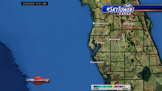
Florida Radar
-
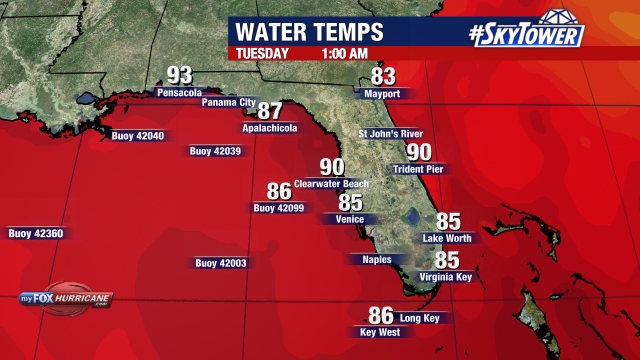
Florida Temps


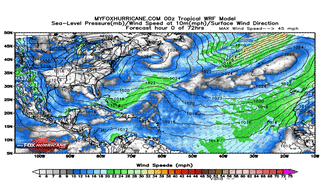
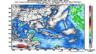
WRF Model Winds Forecast
-
Atlantic Winds Forecast
-
Caribbean Winds Forecast
-
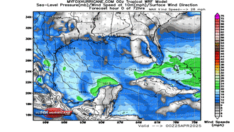
Gulf Winds Forecast
-
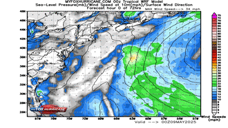
Eastern US Winds Forecast
Storm Preparation Guide
county-by-county pages
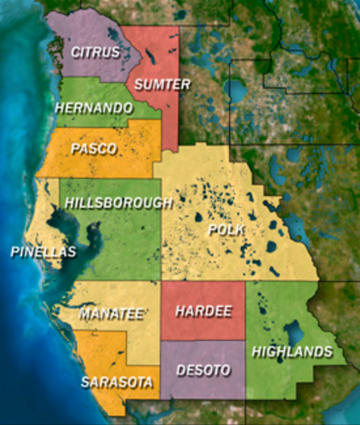 Click on your county above for specific evacuation zones, and emergency contacts.