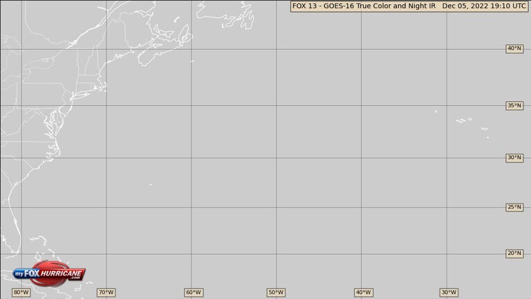
True-Color Central Atlantic Satellite View

About this Map
The satellite images on this map are from the GOES 16 satellite. During daylight hours, imagery from the satellite’s red and blue channels are combined with the Near-IR or "Veggie Band". The "Veggie Band" is manipulated to approximate a green color. Combining each of these channels results in a near-perfect color image. During nighttime infrared imagery is used. You can see the transition as the sun rises and sets and the imagery switches.
Additional Weather Maps
-

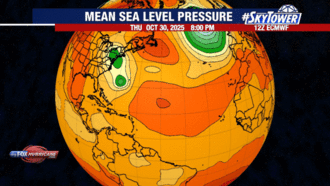
ECMWF Model | Atlantic
-
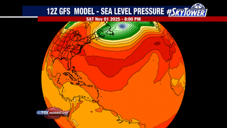
GFS Model | Atlantic
-
Caribbean Satellite
-
Southeast Satellite/Radar


Storm Preparation Guide
county-by-county pages
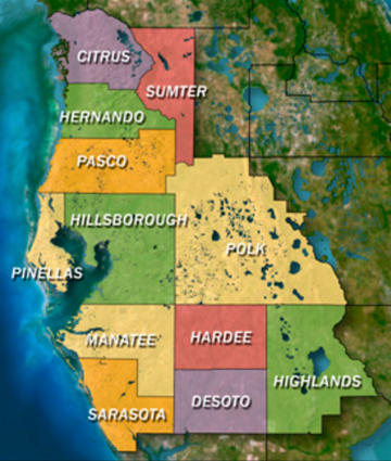 Click on your county above for specific evacuation zones, and emergency contacts.